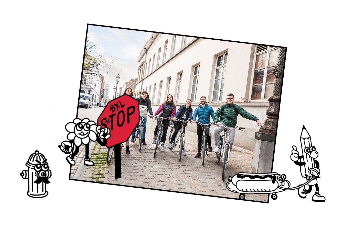
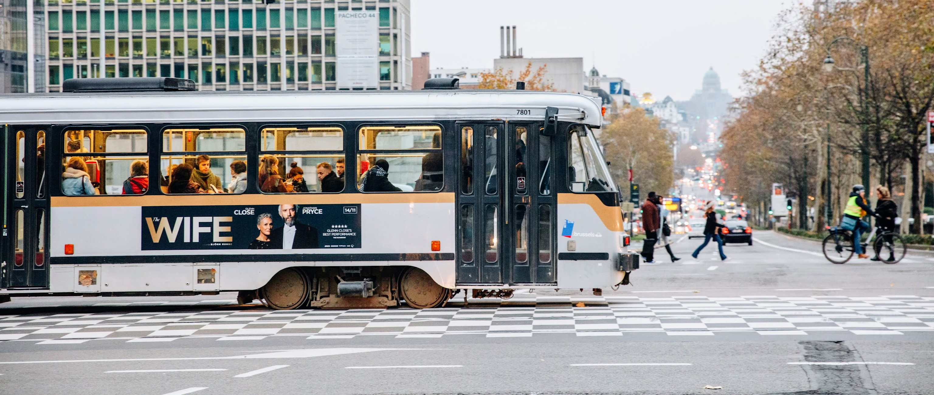
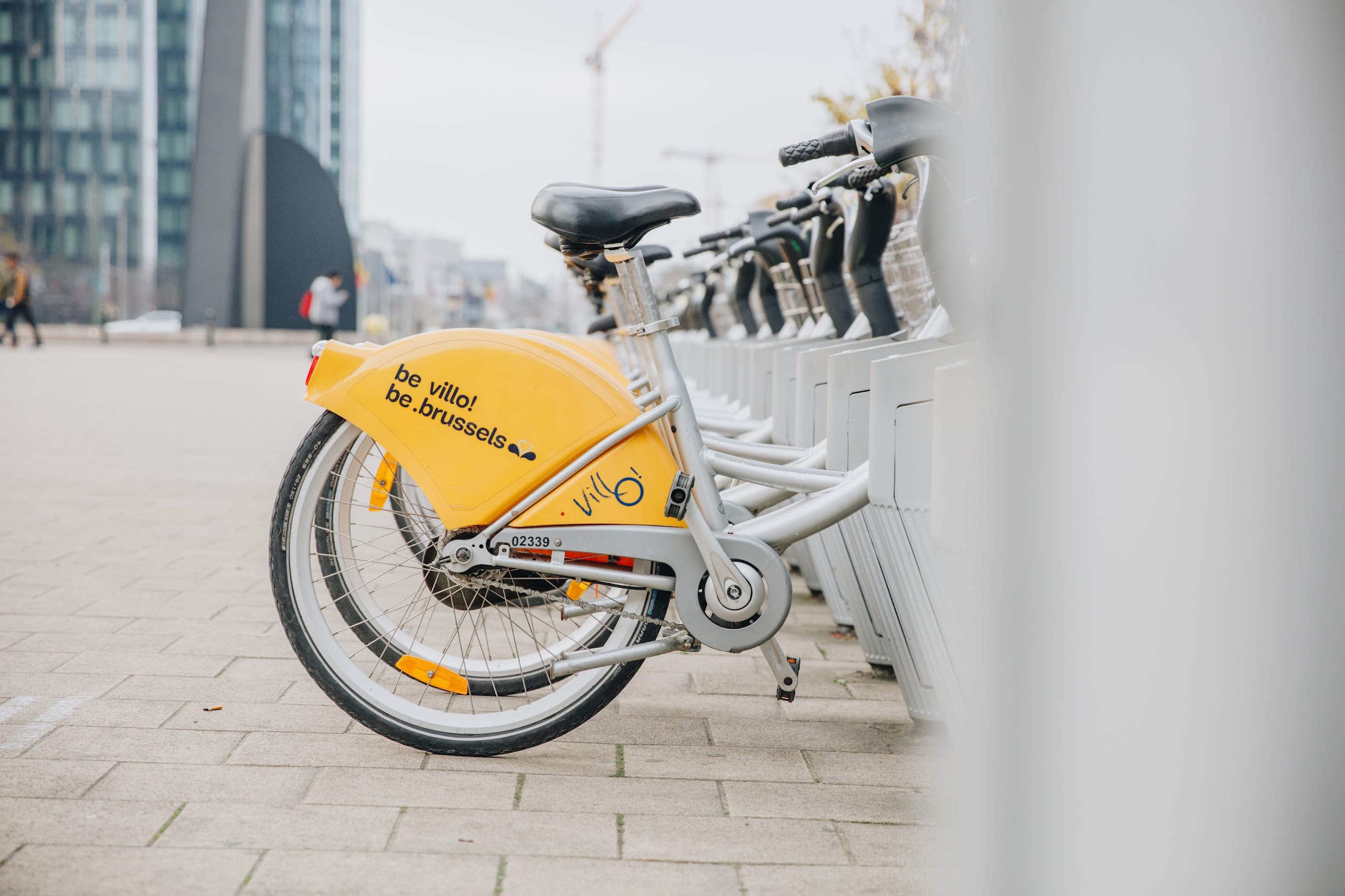
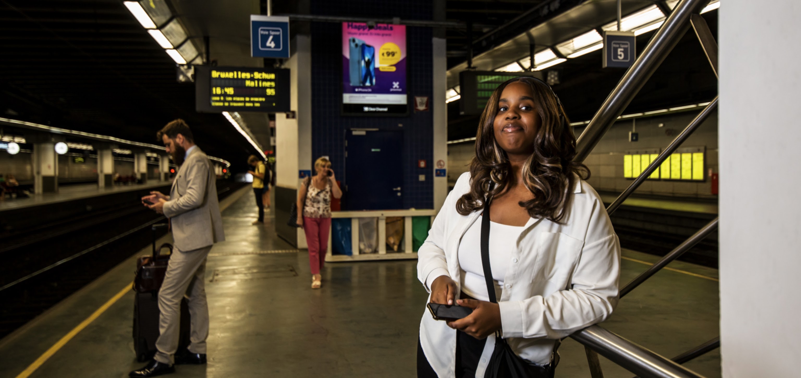
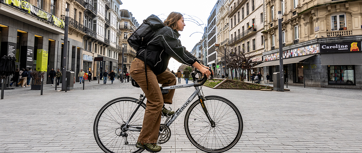
Transport
From Anderlecht to the Zuid neighbourhood, from Etterbeek to the Atomium or from the Zoniënwoud to your student room: in Brussels, it’s easy to make your way from point A to point B. The public transport is quick, extensive and cheap. As well as cycling, there are many other options. Shared transport is always within reach.


Discover Brussels
Student neighbourhoods
Brussels has diverse student neighbourhoods. Each one has its own unique strengths and benefits. Six students share their experiences. 🗣️
Read more

26.09.2024 from 15:00 to 00:00
Brussel Brost
Brussel Brost is the ultimate, free festival for students and the kick-off to the academic year in Brussels. 🥳

Tournée Café
A hundred volunteers selected the best cafés, bars and pubs in Brussels. Ready for an adventure? Use our Tournée Café map to find your way! 🍹
Read more